GuideVágar, Faroe Islands10 min read
Hiking the Faroe Islands
Sea cliffs, grass roofs and weather with opinions
Average rating 5.0 out of 5
5.01 review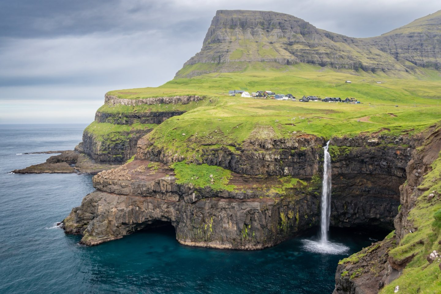
Eighteen islands in the North Atlantic, linked by tunnels and ferries, with some of the most dramatic coastal walking in Europe. Our favourite routes and how to do them well.
A place made for walking
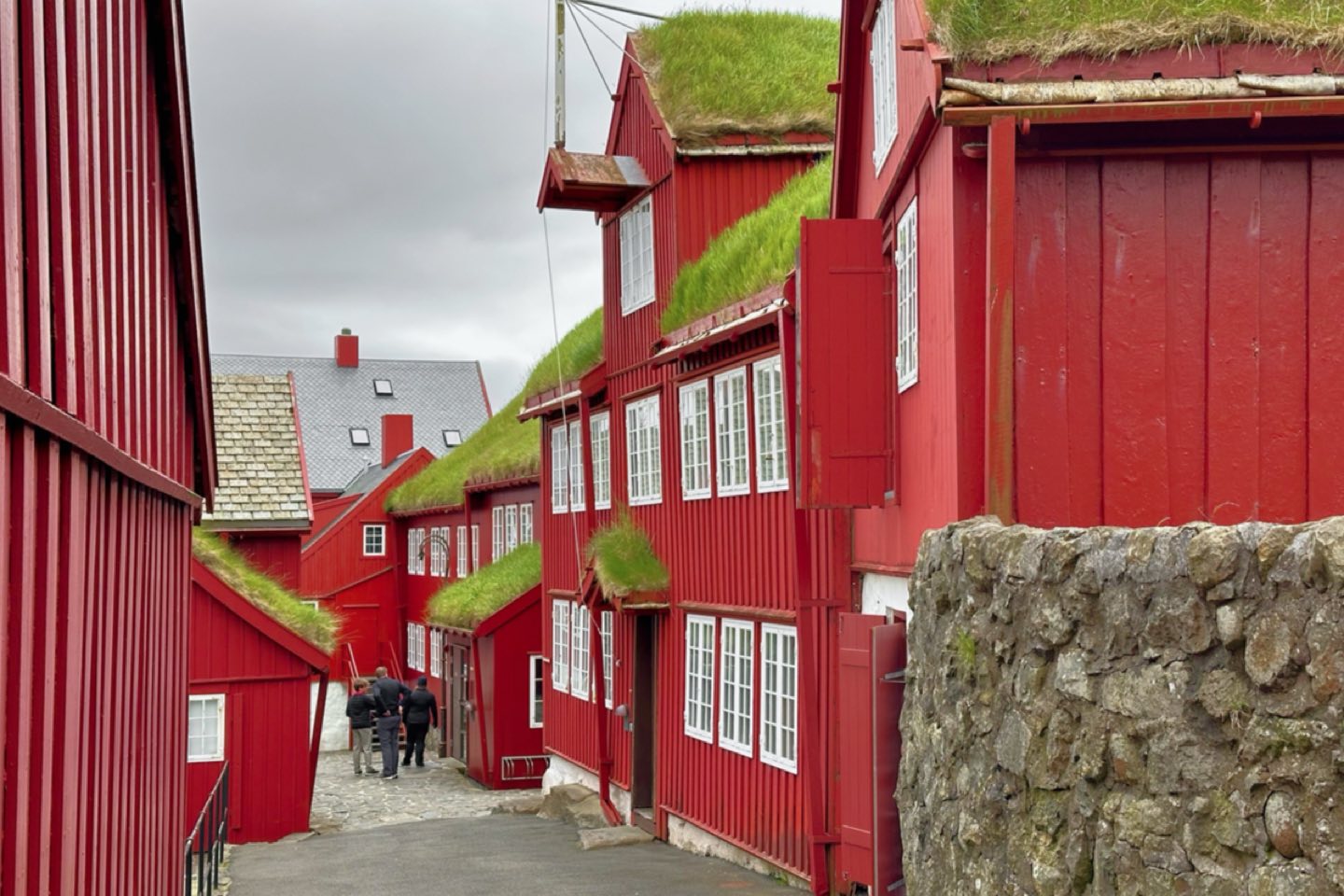
The Faroe Islands rise straight out of the North Atlantic halfway between Shetland and Iceland, eighteen steep, treeless islands where sheep outnumber people and the weather can turn three times before lunch. There are no long-distance trails in the alpine sense. Instead there are old village paths, marked by cairns, that once linked settlements before the tunnels came, and they lead to sea cliffs, lakes perched above the ocean and waterfalls that pour straight into the sea.
Most of the land is privately owned farmland, and since 2019 several of the most popular hikes charge a landowner fee. Pay it gladly: it funds paths, toilets and parking, and it is the reason the routes remain open. Some walks, such as the trail to the Kallur lighthouse on Kalsoy, now require a guide or a booked slot.
We base groups in Tórshavn for three nights and on Vágar, close to the airport, for three more. That covers the best walks with no drive longer than an hour.
Five hikes we love
- Trælanípa and Sørvágsvatn, Vágar: the lake that seems to hang above the ocean, 2 to 3 hours
- Gásadalur and Múlafossur, Vágar: a short walk to the famous waterfall, plus the old postman's path
- Kirkjubøur from Tórshavn: the old church road over the hill to the medieval bishop's seat, 3 hours
- Nólsoy: a ferry ride and a long walk to the lighthouse and the storm-petrel colony
- Slættaratindur, Eysturoy: the highest summit, 882 m, with views over every island on a clear day
Weather and safety
On the trail
Getting around
A rental car is the easiest way to link trailheads. Undersea tunnels connect Vágar, Streymoy, Eysturoy and Borðoy, and car ferries reach the rest. Tolls for the subsea tunnels are charged automatically to the rental company. The bus network is good and cheap if you would rather not drive, but timetables thin out on Sundays.
Atlantic Airways flies to Vágar from Copenhagen, Bergen and Edinburgh, among others, and the Smyril Line ferry arrives in Tórshavn from Hirtshals in Denmark. Petrol stations are spread thinly outside the main towns, so fill up in Tórshavn or Klaksvík. Allow time for sheep, single-track roads and the frequent, irresistible urge to stop and stare. Most of our groups never drive more than an hour between trailheads, which leaves the afternoons for coffee and cake in village cafés.
About this story

Nora NorthwindAuthor
Northwind ToursPublisher
Reviews
Write a reviewAverage rating 5.0 out of 5
1 review- NWNoah Williams5 out of 5 stars5 May
Wonderful writing about a place that is easy to get wrong. The sauna-then-sea tip made our trip.
Keep this story