GuideTorres del Paine, Magallanes, Chile13 min read
The W Trek in Torres del Paine
Five days, three valleys and a lot of wind
Moderate
Our complete guide to Patagonia's most famous trek: direction, refugios and campsites, the Base Torres climb and how to deal with the weather.
The shape of the W
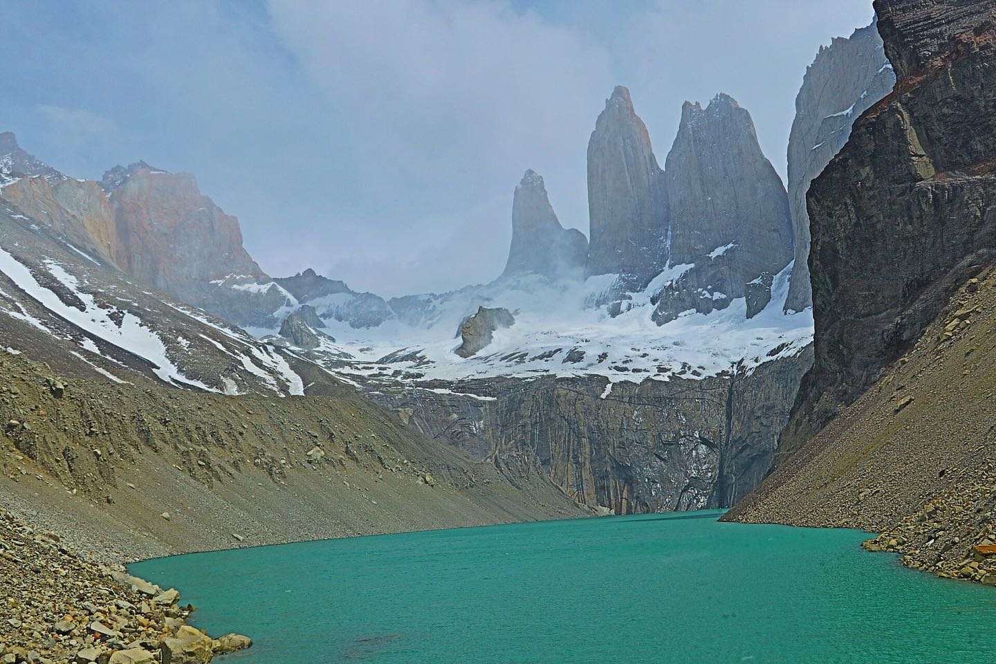
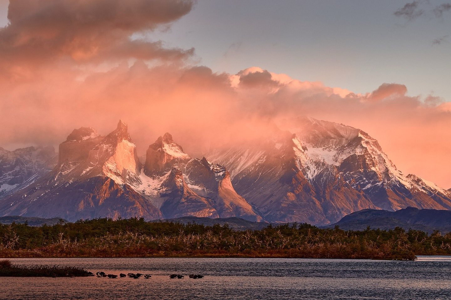
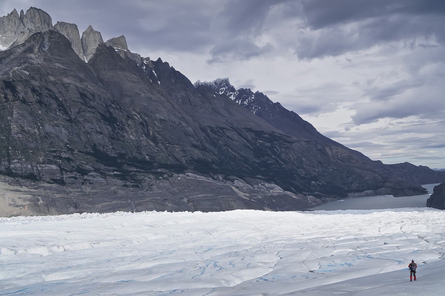
The W takes its name from the route it traces on the map: three valleys walked in and out, linked by the trail along the southern shore of the Paine massif. Done west to east it starts at Grey Glacier, climbs into the Valle del Francés between the granite walls of Paine Grande and the Cuernos, and finishes at the foot of the three towers themselves, the Torres, at sunrise.
It is not a high trek: the highest point is 870 m at the Mirador Base Torres. What makes it demanding is distance (about 80 km in five days), the final 45-minute boulder scramble to the towers, and the Patagonian wind, which can gust above 100 km/h in the Valle del Francés and knock you off your feet on the shores of Lago Pehoé.
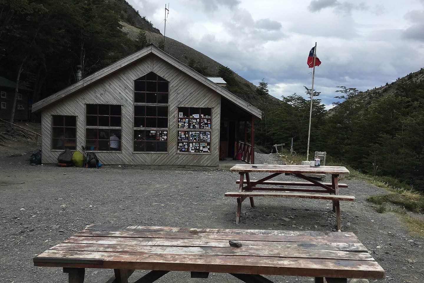
Since 2016 all campsites and refugios must be booked in advance, and rangers check reservations at every site. Three operators run them: CONAF (the free and very basic sites), Vertice in the west and Las Torres in the east. Book the moment your dates are fixed; Chileno and Francés fill first.
On the trail
West to east, five days
- Day 1: Catamaran across Pehoé, walk to Refugio Grey (11 km)
- Day 2: Grey glacier lookouts, back to Paine Grande (11 km)
- Day 3: Valle del Francés to Mirador Británico, sleep at Francés (20 km)
- Day 4: Along Lago Nordenskjöld to Chileno (19 km)
- Day 5: Base Torres at sunrise, down to the Welcome Centre (13 km)
Wind days
Patagonia gives you four seasons before lunch. Pack for all of them, and smile when the sun comes out.Lucas Fernández
Mirador Base Torres
About this story

Lucas FernándezAuthor
Andes TrailsPublisher
Reviews
Write a reviewNo reviews yet
Reviews from other travellers appear here once the publisher approves them.
Keep this story