GuideIceland11 min read
Iceland's Ring Road in Eight Days
Waterfalls, black sand and glacier lagoons on Route 1
Average rating 5.0 out of 5
5.01 review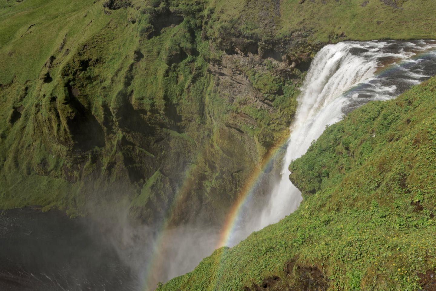
How we pace the 1,332 km loop around Iceland: where to sleep, which detours earn their kilometres and how much daylight you really get in June.
Why eight days
Route 1 circles Iceland in a single 1,332 km loop, and on paper you could drive it in three long days. Nobody who has done it would recommend that. The road is two lanes almost everywhere, the speed limit is 90 km/h, and every hour brings another reason to pull over: a waterfall that is not in the guidebook, a farm café selling skyr cake, a herd of horses with fringes over their eyes.
Eight days is the length we keep coming back to. It gives you four to five hours of driving a day, two nights on the south coast, a slow afternoon at the glacier lagoon and the steaming lava fields of Lake Mývatn in the north. We drive it anticlockwise, starting with the Golden Circle and the south coast while you are fresh, and leave the long, empty stretches of the east for the middle of the trip.
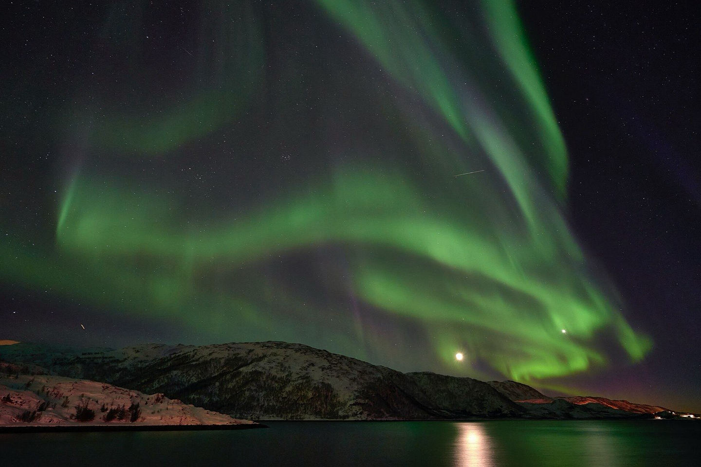
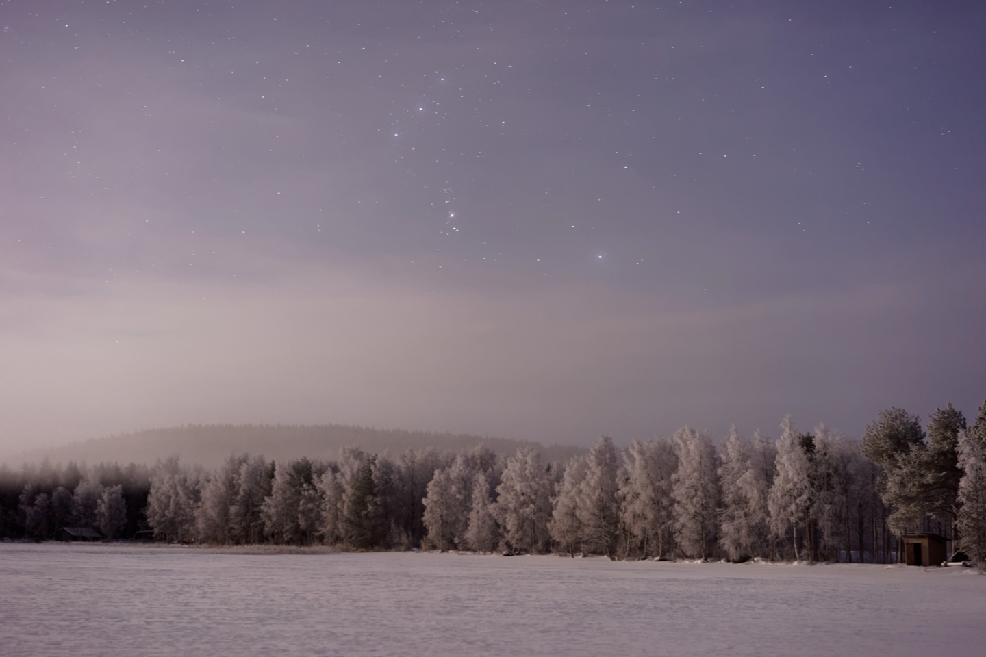
In June and early July the sun barely sets, so you never race the dark. From mid-August evenings draw in quickly and the first northern lights appear. Either way, book accommodation before you book flights: guesthouses on the south coast fill months ahead.
The loop, night by night
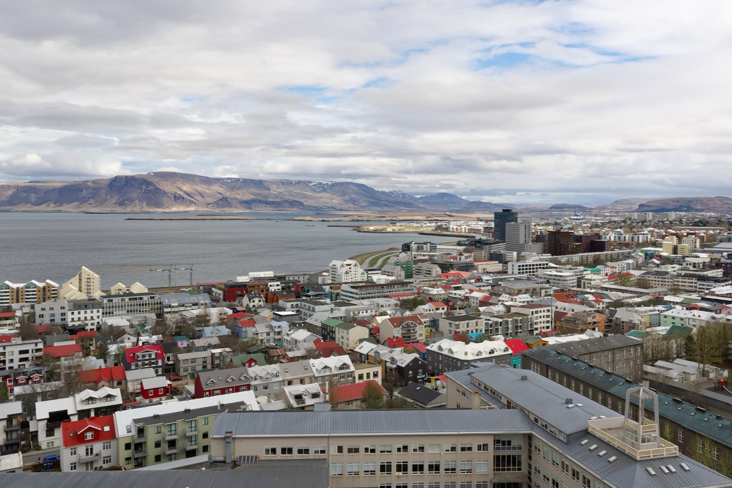
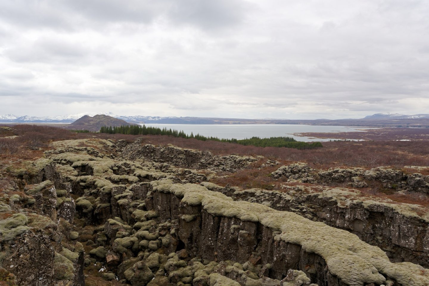
- Night 1, Reykjavík: pick up the car, drive the Golden Circle (Þingvellir, Geysir, Gullfoss)
- Nights 2 and 3, Vík: Seljalandsfoss, Skógafoss, Reynisfjara black-sand beach
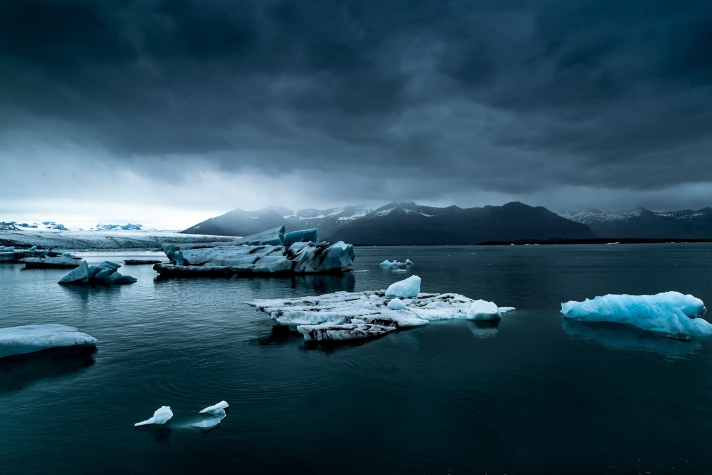
- Night 4, Höfn: Skaftafell, Jökulsárlón and Diamond Beach
- Night 5, Egilsstaðir: the East Fjords coast road via Djúpivogur
- Night 6, Akureyri: Dettifoss, Lake Mývatn and the Nature Baths
- Night 7, Reykjavík: Goðafoss, then the long drive south through Borgarfjörður
- Day 8: return the car at Keflavík on the way to your flight
South coast highlights
Before you drive
Driving and fuel
Petrol stations run on chip-and-PIN cards; buy a prepaid N1 or Olís card in Reykjavík in case your card is refused at an unstaffed pump. Fill up whenever the tank drops below half in the east, where stations are 100 km apart.
A two-wheel-drive car is fine for Route 1 between May and September. The gravel F-roads into the highlands are off limits to anything but 4x4s, and most rental contracts forbid them entirely.
Plan on an average of 70 km/h once you count photo stops, roadworks and single-lane bridges, which are common in the south and east: the car that reaches the bridge first has right of way. Sheep wander onto the road all summer, and hitting one means a call to the farmer and a bill. Never stop on the carriageway for a photo, however empty the road looks; use the marked lay-bys, which appear every few kilometres. Speed cameras are frequent and fines are steep.
Where the loop begins
About this story

Nora NorthwindAuthor
Northwind ToursPublisher
Reviews
Write a reviewAverage rating 5.0 out of 5
1 review- ANAroha Ngata5 out of 5 stars27 Sept
We saw the aurora on our second night exactly where this suggested. The advice on dressing in layers was worth its weight in gold.
Keep this story